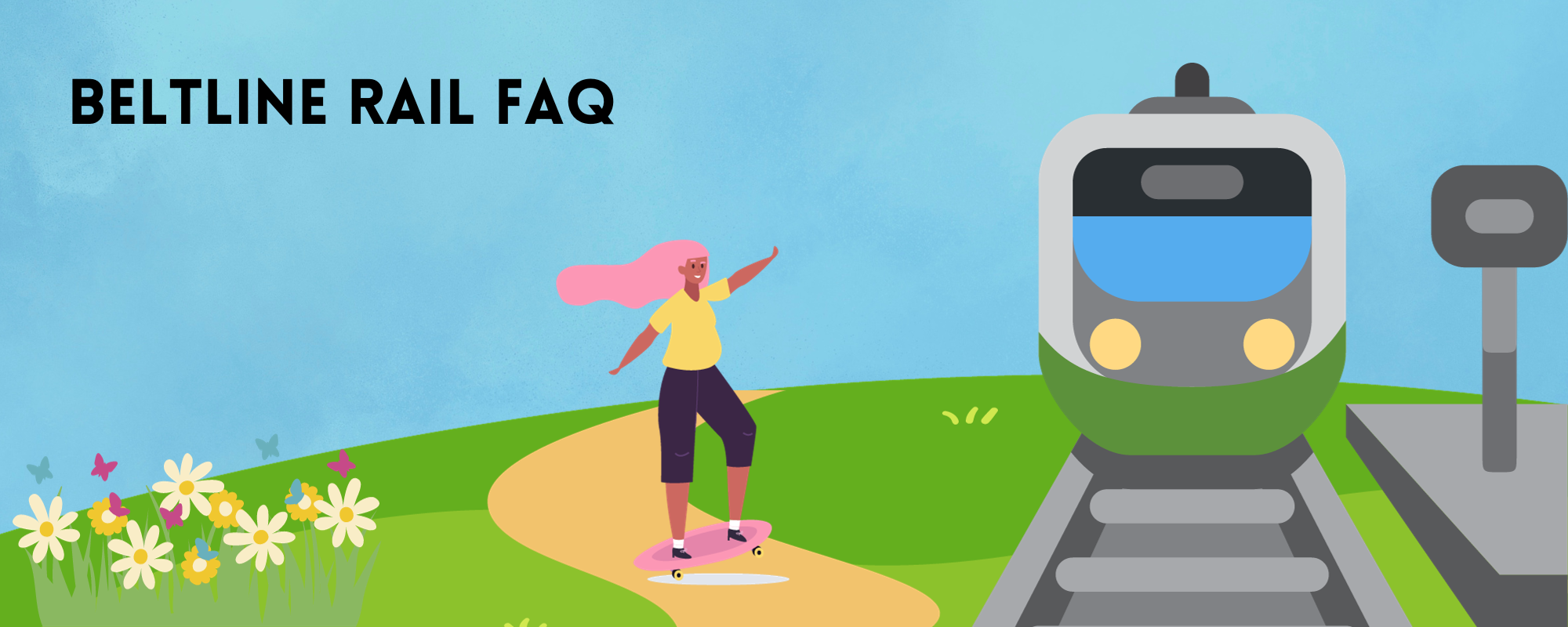
BeltLine Rail East Extension Project: Inman Park FAQsWe have compiled a list of the most commonly asked questions regarding the BeltLine East extension project. Here you can learn more about the history of the project, what phase the project is in, and how it will impact our neighborhood. If your questions are not covered here, please reach out to [email protected].
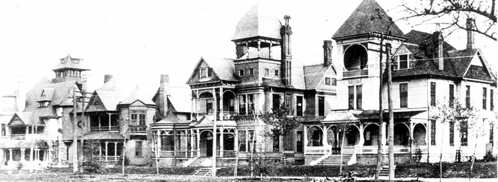
What transit types other than light rail (i.e. trains) have been studied for the BeltLine?Several studies have been commissioned to look at the best possible transit options throughout the two decades of BeltLine planning. Early studies prior to 2005 looked at a variety of transit types including heavy rail, light rail, local bus, bus rapid transit and even maglev (magnetic levitation). In 2007, MARTA performed an “alternatives analysis” that looked at other transit types (including buses and bus rapid transit) and determined that light rail was the preferred transit based on projected ridership and infrastructure permanence. In 2012, the Federal Transit Administration performed an “Environmental Impact Statement” that studied alternatives and again validated light rail as the preferred transit type. In 2018-2019, Atlanta BeltLine Inc. commissioned an additional study (Transit Task Force Study) that looked at both rail and bus options - again concurring with light rail as the preferred transit type. Aren’t there newer lower-cost transit technologies out there?Bus and rail (“trains”) are the only types of transit funded by the Federal Transit Administration. Given that significant FTA funding will almost certainly be needed to complete the 22-mile loop, it's critical that we build transit on the BeltLine that FTA will endorse. There are no major transit systems in the US that are not heavily funded by FTA. Could self-driving (autonomous) vehicles be considered for BeltLine transit?Although many advances have been made recently in “self driving” vehicles, there are still no successful autonomous mass transit systems in the world. To ensure taxpayer funds are used responsibly, transit on the BeltLine should be a type that has stood the test of time in other US cities and similar complex urban environments. That leaves bus or rail. What is the timeline for the BeltLine Streetcar East Extension project?Detailed engineering for the first phase is set to begin in January 2024. Plans will take roughly a year to complete. Construction is targeted to begin in 2025, with opening of the transit targeted for 2028. How is this portion of transit being funded?Funding is through a special tax for MARTA transit expansion that was passed by over 70% of Atlanta voters on the 2016 ballot. Funding to build the rest of the 22-mile loop will likely come from a variety of sources including the Federal Transit Administration (FTA). Why are Atlanta taxpayer funds being used for this project? Why not apply for federal funds?The 2016 ballot measure that passed the transit tax was just two years after the Downtown Streetcar opened in 2014. At that time the City didn’t believe Atlanta would be competitive for federal funds just two years after receiving them for the Downtown Streetcar. The decision was therefore made to put the project on the 2016 ballot for local taxpayer dollars and it passed. What is the anticipated cost of construction?Anticipated cost is roughly $230 million for this first phase. It’s possible it could be more, but we won’t know until we have more detailed plans and the cost is estimated in more detail. Permanent public infrastructure is, indeed, expensive. To put the cost in relative terms, consider that the GA-400/I-285 interchange currently under construction by GDOT costs over $800 million, yet does nothing to change the status quo of Atlanta as a “traffic city.” How long has transit been planned for this portion of the BeltLine?For roughly 20 years. During its first two decades of planning and prior to construction of any trails, the BeltLine was “sold” to the public primarily as a transit corridor. Without transit as the fundamental component of the BeltLine the tax district that funded trail construction would likely not have passed. Why does the first phase of rail have to be the segment between Irwin Street and Ponce City Market?There are several key reasons why this needs to be the first phase of BeltLine transit:
Wouldn’t such a significant transit investment make more sense in other more underserved neighborhoods in Atlanta?Yes, which is why several transit projects are happening concurrently throughout the City. For example, the same transit tax is also funding a six-mile-long Bus Rapid Transit (BRT) line along Cambellton Road in Southwest Atlanta in addition to the Eastside BeltLine Streetcar Extension. The Cambellton BRT line addresses a shorter-term need while the BeltLine light rail lays the foundation for future expansion of the light rail loop to 45 Atlanta neighborhoods. Why is public transit an essential long-term component of the BeltLine? Why can’t it just be a linear park?The primary function of the BeltLine is and always has been to move people. It is a transportation corridor first and linear park second. It was always conceived as a way to focus intown Atlanta growth and density along a system of transit that allows Atlantans alternatives to driving their car. Consider the amount of short-term development being planned for just the BeltLine's east side. Roughly 400 new housing units and half a million square feet of office and retail are proposed at just one site along Ponce de Leon at the BeltLine. Similarly, almost 1,000 new housing units and 400,000 square feet of office and retail area proposed at Amsterdam Walk (near Piedmont Park). Just those two developments alone equate to at least 5,000 additional car trips per day along Ponce de Leon Avenue and along Monroe Drive. Our streets can't reasonably sustain that much additional traffic. We have to provide alternatives to driving and car ownership for all that new growth. Isn’t light rail “100-year-old” technology?No way. That’s like saying that a Tesla is the same technology as a Model T. Light rail did originate over a century ago but, like automobiles, rail has seen significant technological advances like direct current electric motors and “in ground” (no wires) power. Light rail has stood the test of time, which is part of the reason that, as of late 2023, there are 16 American cities with streetcar projects underway. Doesn't the Downtown streetcar have low ridership? Why extend it to the BeltLine?Comparing the Downtown Streetcar to BeltLine Streetcar is like comparing apples and oranges. The Downtown Streetcar shares a lane with vehicle traffic whereas BeltLine Streetcar will have its own dedicated “lanes.” The Downtown streetcar caters more to tourists and visitors whereas BeltLine streetcar will run along a denser area where Atlanta’s live, work and play. The Downtown streetcar is a basic 3-mile loop whereas the BeltLine streetcar will be 22-mile citywide system interconnected with existing MARTA heavy rail and local bus service. Sure, the Downtown loop does not carry a lot of people every day but given how different the route and context are that is not any indicator about the future success of BeltLine rail. The Atlanta Regional Commission projects 4,000 boardings per day once just this portion is complete. What trees will be impacted by the construction and installation of the light rail?Trees will undoubtedly need to be removed in order to build the light rail - most notably along the west side of the trail. Most of the trees along this segment were planted by Trees Atlanta 8-9 years ago. As with any construction project, any trees removed are required to be replaced in the same general area. We’ll know more details about the amount of trees impacted when we review the plans in 2024. Is a physical barrier between the existing trail and planned light rail required?There is no federal requirement for a barrier. MARTA, BeltLine and City leadership have all publicly-stated their desire for no (or limited) barriers. It is ultimately determined by MARTA and the State of GA based on the forthcoming engineering plans, safety, insurance and liability. It’s possible there may be some limited portions that have a physical barrier for safety reasons (approaching streetcar stops/platforms, for example) but we’ll know for sure when the plans are ready for review. There are many examples both worldwide and in the US of light rail systems with no barriers along trails. Can the area around the light rail tracks be grass?We sure hope so! Per the lead transit engineer at Atlanta BeltLine, “grass tracks are a major goal.” We'll know more when we get to review the forthcoming engineering plans. How will the Irwin Street/BeltLine intersection be affected by the light rail?This is a great question that no one yet fully knows the answer to. Many people have incorrectly assumed that the BeltLine/Irwin intersection will be “closed” to cars. That is, unfortunately, a rumor that has never been formally proposed by any public agencies. The reality is that Irwin will most certainly be affected by the addition of light rail and that vehicular access will become more challenged. However, it is unlikely to be “closed to cars.” The best solution is likely one that prioritizes the pedestrian and transit but also allows cars through the intersection safely and slowly. IPNA looks forward to working with MARTA’s engineers to collectively come up with a solution that works for our neighborhood. |